.png)
State Map Of Oregon Bridges
- Kiera Morgan

- Aug 28, 2019
- 1 min read

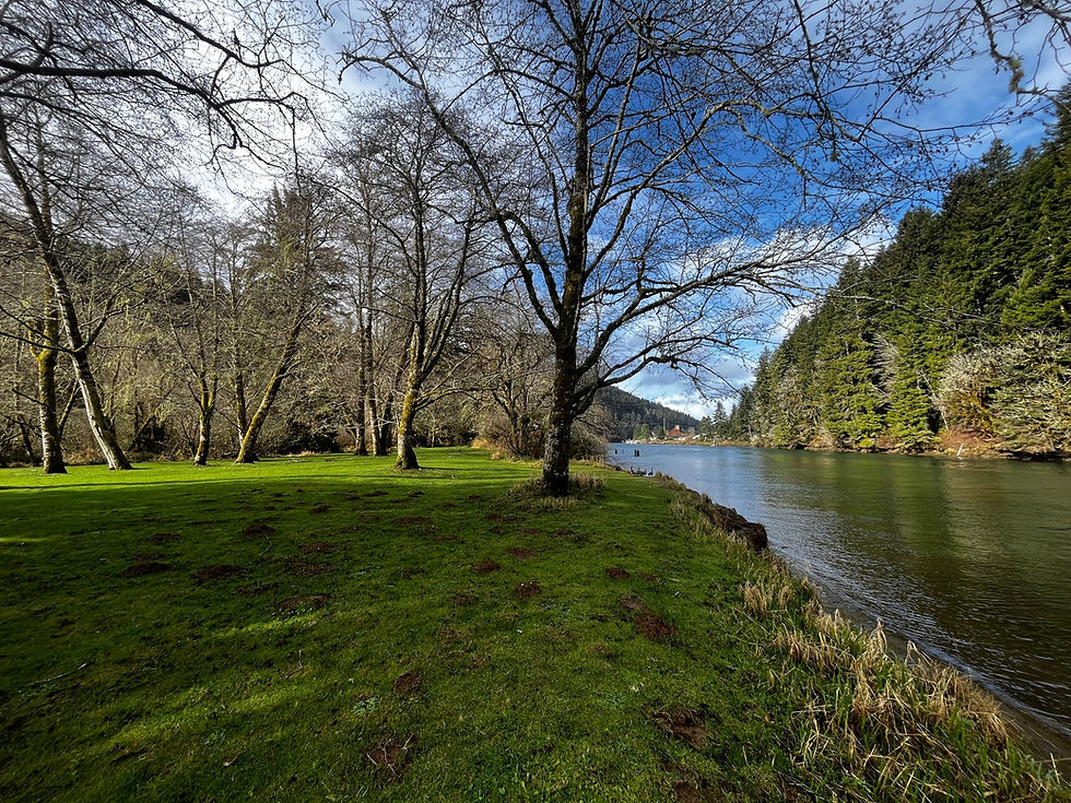
A 100-year-old bridge and a 5-year-old bridge share the spotlight on the covers of the 2019-2021 Official Oregon State Map, available in various locations around the state soon. The Fisher Covered Bridge near Tidewater was built in 1919, and Tilikum Crossing in Portland was finished in 2014. In addition to these colorful photos, the map includes updates to state highways, interchanges and other roadways as a result of construction projects completed since the last publication, summer 2017.
Maps are free and available at visitor centers, DMV offices, chambers of commerce and other outlets. The map contains safety messages and an overview of the state’s safety-related laws, a welcome from Governor Kate Brown, travel resource contacts and other important information for visitors and travelers. It is produced every other year by ODOT’s GIS, Communications and Business Services teams. More information about this and other maps is available online.


Comments